This is an ongoing commentary on the sad spectacle of roadside rest areas in northwestern Ontario. Read more about how badly the area is treated with regard to an inability to take clean, decent and safe bathroom breaks along the isolated miles of the Trans-Canada Highway here, and here. Don’t despair, though. There are plenty of trees and shrubs available, behind which you are free to empty your bladder and evacuate your bowels. Bring your own toilet paper.

Updated July 2010: Sudbury to Thunder Bay – a distance of 626 miles/1,000 kilometers – has a dearth of rest areas. In fact, that little stretch of two-lane blacktop is renowned for its absence of rest areas.
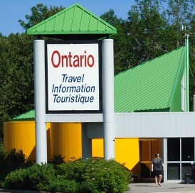
Oh, sure, it has the very occasional Tourist Centre by the side of the road where supervised evacuation of your bowel is allowed from 8 a.m. to 5 p.m., mid-May to the end of August, when those buildings are shut down for the winter. After that, boys and girls, it’s entirely up to you to find your own personal tree at a snowplow turnout that hasn’t been shat upon before you got there.
Good luck with that.
Many of the smaller areas that are indicated by a tiny brown and white picnic table sign have wooden toilets, but access to these too is closed off in winter. No matter though. The signs are so small and questionable that even a long-time Ministry of Transportation (MTO) employee (are there any of those left?) would be hard-pressed to pull off into one before passing it by.
A tourist new to the area would have absolutely no idea that a toilet persists in between the trees covering up any sight of the offending wooden outhouse. And before you climb into one of these at night, be aware that there’s no lighting that will allow you to see what you’re stepping in. You might as well use a tree – if you can find one uncontaminated by human waste.
Now then, I know that the excuse for all of the stupidity on the part of Ontario is that it provides local business with a guaranteed supply of customers full of human waste that needs to be cleaned up at the end of every day. Believe me. I know how some of those local businesses clean their latrines, and it’s not pretty. It doesn’t smell good either.
Perhaps Ontario-the-good might want to consider providing some training to these businesses in how to clean a shitter. Such training might provide not only a steady stream of return business (if you’ll pardon the pun) but also gains in the number of people employed.
Updated October 2009: Little did I know when I wrote this post that Ontario, in its infinite wisdom, had closed 20 out of 23 service centres along Highway 400 and 401 in southern Ontario. That’s right, folks, they closed 20. All at once. Re-opening will not occur until 2012. What a fucking joke.
<< uncontrollable laughter >>
Drivers aren’t even allowed to stop on the side of the road on those highways, and in fact, there are no paved shoulders to pull off onto. Imagine that, users of the Interstate system down south.
Consequently, there’s nowhere to piss. Or shit.
The stupidity of Ontario never ceases to amaze me.
* * *
There’s a nice little rest area just west of Thunder Bay. It’s the time zone map, complete with trees, tables and toilets. It’s remarkable for the size of the tribute it pays to time zone change. Now, granted, it does delineate the Eastern Time Zone (from whence all things Toronto must by edict emanate), and the Central Time Zone, where nothing ever happens. That in itself makes it remarkable and distinct.

I do know that some years ago, the time zone marker was moved to its present position from a somewhat more easterly location. I’m not sure if Queen’s Park in Toronto, the centre of the known universe, took it upon itself to actually move a time zone, but it wouldn’t surprise me. The display is now on a prominent hill looking southeast to its mecca.

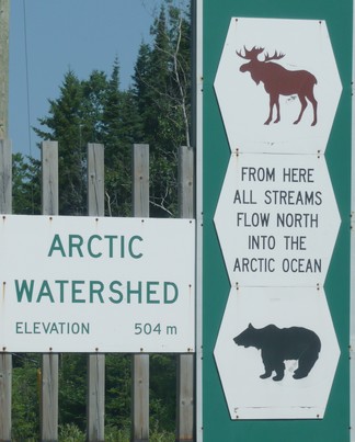
Almost unnoticed is the Arctic Watershed marker. It’s located somewhat east of the time zone map on one of those snowplow turnouts renowned for trash disposal, urine deposits and No Parking signs.
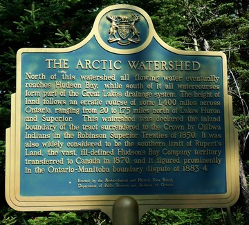
Some distance back in the bush from the Arctic Watershed sign and almost invisible is a plaque detailing the history and area involvement in delineating the territory which eventually became known as Canada.

